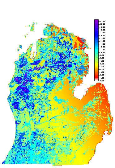
Recharge in the Lower Peninsula of Michigan
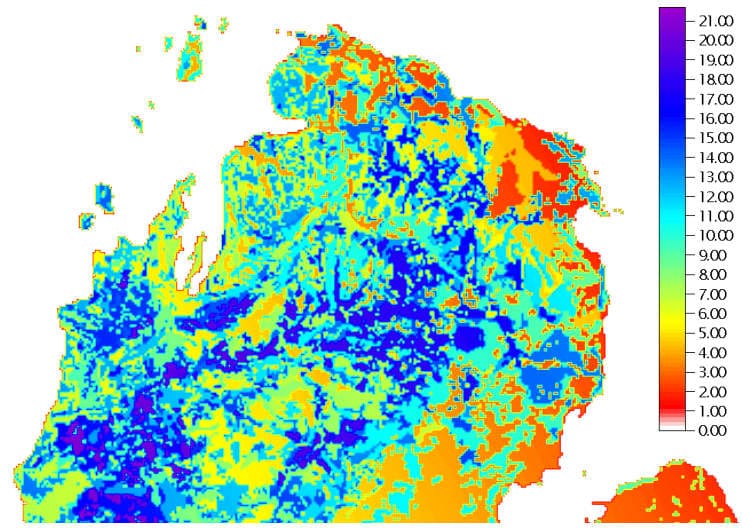
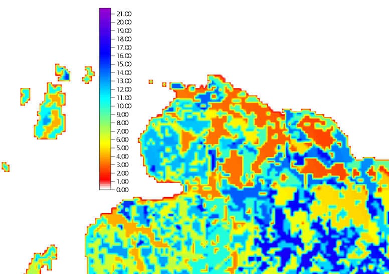
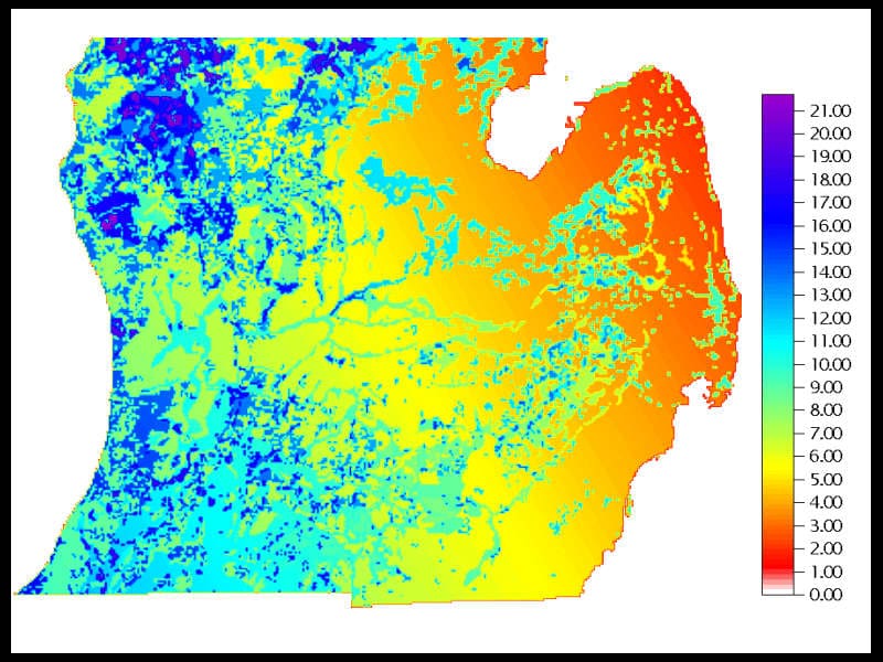
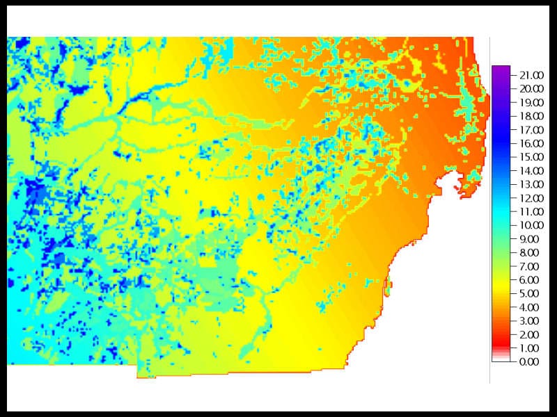
Ground-water recharge rates were estimated in an independent study for the RASA modeled area by Holtschlag (1996). The estimates were made by analysis of streamflow data from 114 basins throughout the Lower Peninsula of Michigan. Ground-water runoff (base flow) was determined from hydrograph separation of stream discharge measurements, determining annual ground-water discharge (annual basin recharge) for each basin with QPART (Rutledge, 1993). Steady state, normal basin recharge was then related to 30 year normal precipitation by a set of basin specific regression equations. To interpolate the normal basin recharge estimates statewide, a regional regression relation was developed relating the normal basin recharge estimates to latitude and longitude (as a proxy for climate), fine and coarse surficial geologic material, and deciduous versus coniferous forest cover land use characteristics. The relation was used to determine a recharge rate for each active node of model layer 1 of the RASA groundwater flow model (Hoaglund et al., 2002). The recharge rates vary from 0.19 to 22.3 in./yr and average 8.41 in./yr (Holtschlag, 1996).
Hoaglund, J.R., G.C. Huffman, and N. J. Granneman, 2002. Simulation of groundwater flow in the Glaciofluvial, Saginaw, Parma-Bayport, and Marshall Aquifers, Central Lower Peninsula of Michigan. U.S.G.S Open File Report 00-504.
Holtschlag, David J., 1997. A generalized estimate of ground-water recharge rates in the Lower Peninsula of Michigan. U.S.G.S. Water Supply Paper 2437. 37 p.
Holtshlag, David J., 1996. A generalized estimate of ground-water recharge rates in the Lower Peninsula of Michigan. U.S.G.S. Open File Report 96-593. 37 p.
Rutledge, A. T. , 1993. Computer programs for describing the recession of ground-water discharge and for estimating mean ground-water recharge and discharge from streamflow records. U.S.G.S. Water Resources Investigation Report 93-4121. 45 p.
